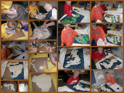
For the upcoming historical/geography fair our homeschool group is having, the boys have created a couple of maps of the countries they are studying and presenting.
We made salt-dough, which is basically dough with lots of salt. It makes a playdough like texture, and is easy to mold. You then take carboard and trace out a country’s shape. After that you mold the dough to the shape of the country. You make mountains and rivers, and can even make points of interest on the maps, and for fun, you can make those not to scale so they stick out. After you’re done molding, comes the painting and tagging. We haven’t tagged the maps yet, but we’ve got them molded and painted.

Here’s some videos of the boys talking about their maps. First is Zion, who is doing a map of Brazil.
Leave a Reply
You must be logged in to post a comment.